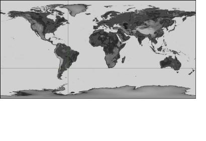
The ISPRS (International Society for Photogrammetry and Remote Sensing) International Journal of Geo-Information launched a call for manuscripts submission regarding collaborative mapping. A large number of scientific applications make use of maps, such as monitoring and assessment of biodiversity, climate change, risk and vulnerability, energy supply and demand, and food security. More accurate maps are needed because remote sensing (RS) can provide comprehensive spatial and temporal coverage of the earth’s surface but there is a lack of reference data to calibrate and validate these maps. Moreover, RS data are often too expensive and the temporal coverage insufficient. The increasing number of citizen sensors is under radical change mapping through citizen collaboration. The aim of this call for manuscripts is to gather and publish the latest research on collaborative mapping.

