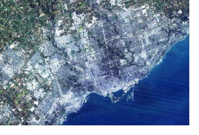
Researchers will have easier access to Landsat 8 satellite imagery thanks to a new tool made available by Blackbridge Networks and Cybera.
Canadian non-profit organisations such as academic institutions or research networks using geospatial information will be able to access thousands of Landsat 8 Level 1T terrain-corrected, multi-spectral images that are immediately available for selected regions of Canada, the United States, Brazil, Australia, and Western Europe.
The catalogue of Landsat 8 imagery can be accessed via BlackBridge’s self-service Representational State Transfer Application Programming Interface (REST API), a tool built to help discovering and accessing large satellite imagery catalogues. Cybera provides a high-speed, unmetered research and education network infrastructure allowing the existence of this tool.
“It takes a lot of resources to accurately study and map Canada’s landscape, and geospatial researchers often devote hours to finding the exact satellite picture that they need to inform their work. The tools and understanding that they will now have access to through the Landsat 8 satellite imagery service will be invaluable for those working in environmental monitoring, resource discovery, and industrial engineering,” said Robin Winsor, President and CEO of Cybera, according to GeoCommunity.

