United
Nations
Office for Outer Space Affairs
UN-SPIDER Knowledge Portal
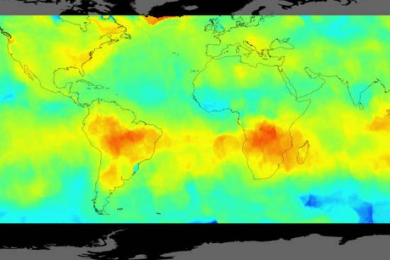
Scientists from the Finnish Meteorological Institute, Helsinki, produced three maps of carbon dioxide emissions based on satellite observations from NASA’s Orbiting Carbon Observatory-2 (OCO-2) and combining it with an innovative data-processing method.
This is the first time a satellite measures carbon dioxide with extreme precision permitting the creation of maps based exclusively on the data it provides. Three highest-emitting areas of the planet: eastern United States, Central Europe and East Asia are the focus of the mapping. The complete results were published on 1 November 2016 in the paper “Direct Space-Based Observations of Anthropogenic CO2 Emission Areas from OCO-2” that appears on the journal Geophysical Research Letters.
One of the key points of the OCO-2 mission that was launched on July 1st 2014, is to be an innovative tool for understanding the sources of carbon dioxide emissions and how they change over time is . For more information about OCO-2 click here.
