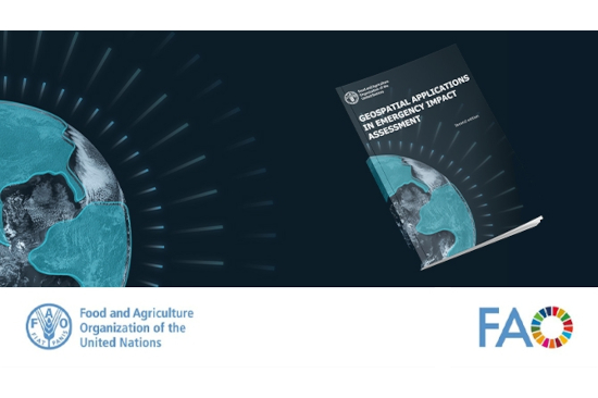
The Food and Agriculture Organization (FAO) has released a publication titled "Geospatial Applications in Emergency Impact Assessment", shedding light on the critical role of geospatial technologies in assessing and responding to disasters. With global disasters wreaking havoc on communities and economies, especially those reliant on agriculture, the need for effective disaster response has never been more urgent.
The publication underscores the escalating economic and social toll of natural and human-induced hazards on vulnerable regions, emphasizing the imperative for timely and accurate disaster risk reduction assessments. Geospatial technologies, including Earth observation, are identified as pivotal tools in this endeavor, offering high-resolution data and advanced algorithms to analyze vast amounts of information. These technologies enable rapid integration of remote sensing inputs with other geospatial layers and field data, facilitating timely decision-making in emergency situations.
Space-based technologies play a crucial role in disaster response by providing real-time data on the extent of damage, aiding in the identification of affected areas, and guiding emergency relief efforts. From monitoring flood patterns to assessing crop health and identifying conflict zones, satellites offer invaluable insights that inform targeted interventions and resource allocation. The FAO publication highlights the transformative potential of geospatial technologies in enhancing disaster preparedness, response, and recovery efforts, underscoring the importance of investing in capacity building and technological innovation to build resilient communities worldwide.
As nations grapple with the escalating frequency and severity of disasters, harnessing the power of geospatial technologies is essential for mitigating risks, saving lives, and safeguarding livelihoods. The FAO's comprehensive report serves as a roadmap for policymakers, technical experts, and humanitarian organizations to leverage these cutting-edge tools effectively, ensuring a coordinated and efficient response to the growing threat of disasters on a global scale.
Find the free publication and more information here.