UN-SPIDER published a new recommended practice in its Knowledge Portal outlining detailed step-by-step procedures to support drought monitoring. The practice was developed by researchers from the Federal University of Santa Maria in Brazil (UFSM). The procedure has been used to elaborate drought-related maps for Brazil in recent years.
With this recommended practice, one more milestone was reached within the Strengthening Early Warning Systems for Droughts (SEWS-D) project. The SEWS-D project aims to contribute to the institutionalization and the improvement of EWS dedicated to drought through the incorporation of the routine use of satellite information, specifically by promoting the use of FAO’s ASIS system and the use of information derived from other indexes generated using satellite imagery. Such indexes focus on the impacts caused by droughts on the vegetation and complement Standardized Precipitation Index measurements, which are already used for drought monitoring on a continuous basis.
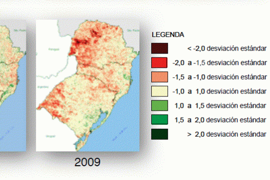
The new recommended practice promotes the use of time series of MODIS vegetation products to calculate the Standard Vegetation Index (SVI). The results allow to compare the current state of the vegetation with the state of the vegetation on the same day of the year over the whole time series. This information helps decision makers to understand early the severity of a current drought. The satellite-based vegetation information will complement ground-based precipitation data, which is currently used for drought early warning systems in Central America. The method is similar to a practice recommended earlier by the Iranian Space Agency (ISA), which proposes the use of the Vegetation Condition Index (VCI). The code to automate the calculation of maps for drought monitoring with the free software "R" is freely available for download within the step-by-step procedures of both practices.
As a way to support drought monitoring in Central America and the Dominican Republic, researchers from UFSM have developed SVI maps and have provided these maps to government agencies participating in the SEWS-D project.