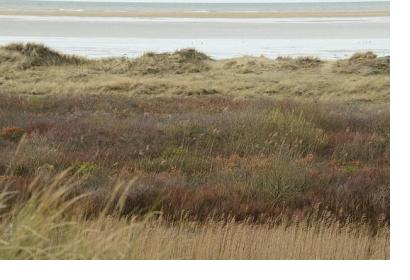
Coastlines provide a wide range of ecosystem services that favour societies in many ways. In the context of natural disasters, they can act as a natural buffer to flood risks. To integrate natural systems into flood protection, authorities and engineers are seeking quantitative information on key parameters that help foster cost-effective and sustainable mitigation strategies. For this purpose, the European Union funded project Foreshore Assessment using Space Technology (FAST) has introduced the MI-SAFE viewer.
Tailor-made solutions for end-users
The MI-SAFE viewer uses Copernicus open data and other Earth observation (EO) inputs and combines it with unique modelling capabilities. To do so, the FAST project team gathered information on vegetation characteristics, wave behaviour, and on the relationship between erosion and sedimentation along eight coastlines of the EU. This information was then projected to global data of vegetation cover and change and new high-resolution coastal elevation models. This approach helps to quantify the coastal flood risk reduction potential and makes it accessible for coasts worldwide. Users can, for instance, assess the impact of coastal salt marshes on the protection of dykes during storm surges or the influence of vegetation on retaining inundation caused by coastal floods.
Raising awareness for the importance of natural coastlines on flood prevention
On a global scale the data is easily accessible and downloadable and covers a wide range of base maps. It ranges from coastal topography, land cover and coastline to tide, surge and wave heights to vegetation change and presence. On the FAST study sites, users can focus on transacts that offer the so-called MI-SAFE Expert with more detailed information. For example, it shows the required sea defence crest height per return period and different vegetation densities, as well as foreshore types or surge levels. With this tool, the research team aims to raise awareness for the importance of natural coastlines on flood prevention.

