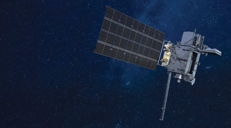
An advanced weather satellite to track storm systems, wildfires, floods, and other hazards was launched by NASA from the United States of America on 25 June 2024. The new Geostationary Operational Environmental Satellite-U (GOES-U) represents the latest in a series of next-generation weather satellites operated by the National Oceanic and Atmospheric Administration (NOAA).
GOES-U, the fourth in the GOES-R series, was launched on a SpaceX Falcon Heavy rocket from NASA’s Kennedy Space Center in Florida. The satellite’s solar array panels have deployed, and GOES-U is now operating under its own power. Once GOES-U reaches its geostationary orbit, it will be renamed GOES-19. Following a thorough checkout and validation of its instruments, GOES-19 will take the GOES-East position, replacing GOES-16 by mid-2025.
GOES-U will combine high definition with advanced speed and precision to the real-time observations it will capture, which will help improve the accuracy and timeliness of our weather forecasts. This satellite will ensure these critical data are available to NOAA forecasters into the 2030s.
Making history, GOES-U is carrying the first operational satellite solar coronagraph (CCOR-1). This instrument will work alongside other solar and space environment technologies on the satellite to detect hazardous space weather that could disrupt power grids, communications, and navigation systems.
According to NOAA experts, this satellite will add to the current imaging capabilities for hurricanes, fires, severe storms, and other life-saving applications, including the new coronagraph that will expand warning lead times for geomagnetic storms.
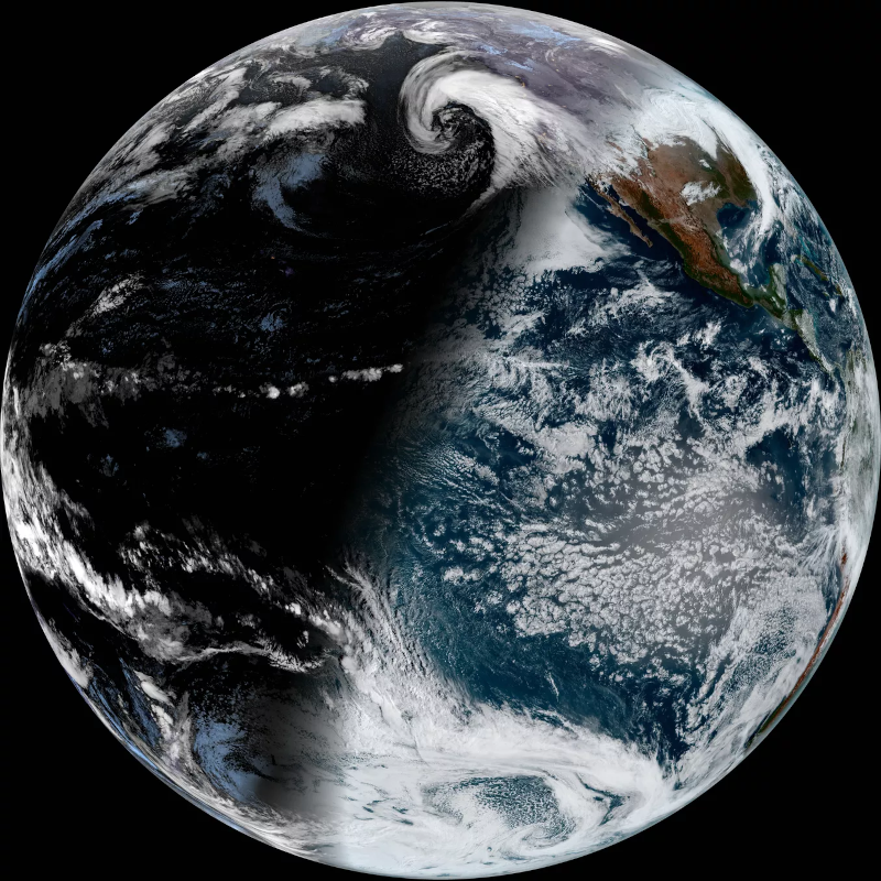
GOES-U is also notable for completing the GOES-R series of four satellites, a program first conceived over 20 years ago, expected to operate into the late 2030s. Like its predecessors, GOES-U will provide fast, accurate data for tracking severe storms, tropical systems, wildfires, floods, lightning, snowstorms, dense fog, and other hazards. GOES-U will work in sync with GOES-18, positioned in the GOES-West slot, to observe more than half the globe—from the west coast of Africa to New Zealand, and from Alaska to Antarctica.
Geostationary Operational Environmental Satellites
The GOES-R Series program is a joint project by NASA and NOAA. GOES-U is the final satellite in this series, extending the observational high-resolution satellite coverage to most of the Western Hemisphere. Additional missions, such as the upcoming GeoXO (Geostationary Extended Observations), are planned to continue and enhance the capabilities of the GOES-R series. GeoXO will monitor the atmosphere, ocean, and climate, addressing the growing environmental and health challenges worldwide. The first GeoXO satellite is scheduled for launch in 2032, as the GOES-R series nears the end of its operational lifetime.
About the NOAA-NASA partnership
NOAA oversees the GOES-R Series Program through an integrated NOAA-NASA office, managing the ground system, operating the satellites, and distributing their data globally. NASA’s Goddard Space Flight Center manages the acquisition of the spacecraft and instruments, also contributing the Magnetometer instrument for GOES-T and GOES-U. NASA’s Launch Services Program at Kennedy Space Center manages the launch services for the GOES missions.