United
Nations
Office for Outer Space Affairs
UN-SPIDER Knowledge Portal
The OpenAerialMap project was started by Humanitarian Open Street Map earlier this year with the goal to improve rapid access to aerial imagery for disaster mapping and humanitarian response. Now, a beta version was released.
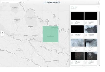
Delivering useful imagery to decision makers, mappers and responders still needs its time, like it was illustrated during the recent Nepal earthquake. Now, the OpenAerialMap offers users a simple interface to find, browse, filter and review available data.
Additional components that will allow users to upload and share image data are being designed and will be released soon. This means that anyone from traditional satellite image providers to individual drone mappers will be able to easily share imagery for humanitarian mapping.
The entire system is built using open source software and designed to dynamically scale in performance as the catalog grows with millions of images.
The current image catalog is still in beta but gives an insight of what OpenAerialMap will provide to the community of Humanitarian Open Street Map Team (HOT) and Open Street Map (OSM) mappers in the very near future: a single place to find and share open imagery.
