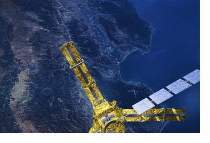
In a recent article on their website, UNDRR, the United Nations Office for Disaster Risk Reduction, highlights the discussions revolving around the role of space-based information for the post-2015 disaster risk reduction framework. The discussions had taken place during an interactive forum on 14 March 2013 in Geneva.
"We need to make these technologies more accessible and educate people on the benefits of new technologies to reduce disaster risks and support resilience building," remarked UNDRR's Deputy Director Helena Molin-Valdes, who also coordinates the Making Cities Resilient campaign which has signed up over 1300 cities. "The question now is how do we link spaced-based technologies, and the information they capture, to the wider issue of disaster risk reduction and long-term sustainable development? Will urban planners, engineers, and development practitioners step up to the challenges of openly sharing data, building capacities, partnering and innovating to build a disaster resilient future?"
UN-SPIDER's expert Juan Carlos Villagran mentioned that the use of space technology, geographic information systems and geospatial data are tools that can help countries report against the Hyogo Framework for Action, the current 10-year international framework for DRR which ends in 2015. He also proposed that, "countries use data and space technology to provide evidence when reporting against the future DRR framework and that this will also provide recommended practices on how space technology can be used for resilience building."

