United
Nations
Office for Outer Space Affairs
UN-SPIDER Knowledge Portal
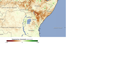
Satellite technology helps to monitor drought in Kenya providing detailed information about the strength, location, spatial extent and duration of the drought.
The spatial information allows an analysis of the drought situation in the country and in some of the most affected regions such as Wajir, Marsabit, Isiolo and Garissa. This allows for better disaster management and facilitates the request for donor support. In 2011 Kenya had one of the worst droughts in recent times. It was difficult for the country to implement appropriate preparedness measures. The use of satellite technology could improve these processes.
"We used to get conflicting and misleading information from arid and semi-arid areas. Some regions are generally very dry and when rains fail for some time, they say they are in extreme drought. Now we can plan, detect drought early and advise even at policy level on what measures to take," said Luigi Luminari, a technical advisor at Systems for Drought Management in Kenya.
