The Sentinel-2C satellite has started providing imagery of Earth only two weeks after launch, demonstrating the capabilities it will offer to the Copernicus program, the Earth observation endeavour in Europe. Having been launched from Europe’s Spaceport in French Guiana on September 5, 2024, Sentinel-2C will provide continuous high-resolution multispectral imagery of Earth’s land, inland waters, islands, and coastal areas.
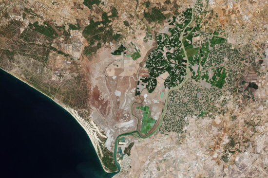
The initial images captured by the satellite showcase the expansive perspectives afforded by its 290-kilometer swath with. Seville, Spain, with its varied urban and natural features along the Guadalquivir River, stands out in this particular picture. Separate observations used infrared to show burning areas and active fire sites, while another view covers southern France all the way to Spain. Meanwhile, fires in Los Angeles, California, are still going strong. By utilizing infrared channels, Sentinel-2C was able to highlight the extent of the fires and burned areas, providing data that will be instrumental in early detection, response planning, and disaster management.
Potential use cases for the satellite include agricultural surveillance, water quality assessment, and disaster management. Once Sentinel-2C is fully operational, its data will be made publicly available via the Copernicus Data Space Ecosystem.
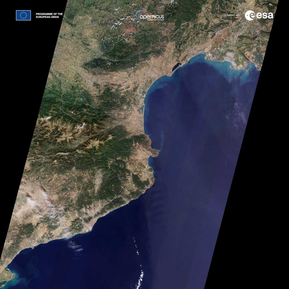
Image credits: contains modified Copernicus Sentinel data (2024), processed by ESA