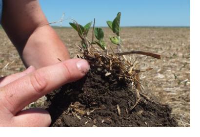
NASA is working together with Agriculture and Agri-Food Canada (AAFC) and its real-time In-situ Soil Monitoring for Agriculture network (RISMA) to improve and prepare information about the consistency of soil.
RISMA is a network of 22 soil monitoring stations in annually cropped fields to provide soil moisture, soil temperature and meteorological data and capture conditions for the main agricultural crop types, soil textures and eco-zones in Canada. This ground-based information will be to assess data coming from NASA’s satellite Soil Mositure Active Passive (SMAP) and test soil moisture mapping products.
”Those measurements in near real-time help us test new sensor technology, support our satellite-based soil research and model development, and allow us to collaborate with other science organisations. Monitoring soil moisture will enable the sector to better mitigate agricultural risks on a regional and national basis,” says Anna Pacheco, Environmental Analyst, Remote Sensing, from AAFC.
According to AAFC, the monitoring stations continually measure and report the latest data in near real-time. In many cases, the data can be accessed online within an hour of the sampling. With a web-based application farmers are able to see the most current soil information. It facilitates easy viewing, synthesis and manipulation of the data, what will allow them to make better and informed decisions based on weather, water and other variables. The app will also allow researchers to predict crop yields and possible flooding based on the satellite images.
SMAP’s mission started in January this year and will run until 2018 and for that duration the scientists want to continue sharing their gathered data.

