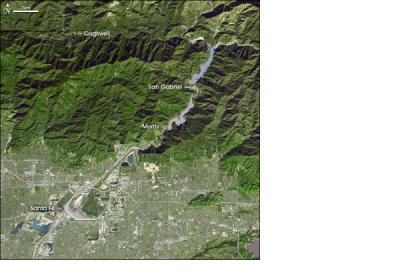
A team of geographers at University of California have developed a new approach to measure river flows from outer space. This approach relies exclusively on the measurements of a river's width over time, which can be obtained from freely available satellite imagery. "Our new method doesn't require access to the country or getting in the river to safely take measurements in the field," said Colin Gleason, lead author of the study and a doctoral student in geography in UCLA.
"This work represents a breakthrough in our ability to address one of the most pressing environmental challenges of the 21st century, which is ensuring access to sufficient water supply for human beings and ecosystems," said Laurence C. Smith, co-author of the study and chair of UCLA's geography department.
The new approach will be beneficial for agriculture, sanitation and flood preparedness, especially in countries without the resources to physically measure and monitor their rivers. The method was tested on 19 rivers and delivered results close to measurements with other instruments. It deviated only in the case of rivers with vertical concrete sides.

