As part of the technical advisory support it provides to countries worldwide in making use of space-based information for disaster management, UN-SPIDER carries out an Institutional Strengthening Mission to Ecuador from 8 to 12 April 2019 upon the request of the Government of Ecuador. This activity is jointly organized by the United Nations Office for Outer Space Affairs (UNOOSA), through its United Nations Platform for Space-based Information for Disaster Management and Emergency Response (UN-SPIDER) and the National Risk and Emergency Management Service of Ecuador. The Military Geographic Institute of Ecuador, the Agustín Codazzi Geographic Institute of Colombia (IGAC) and the Federal University of Santa Maria, Rio Grande do Sul, Brazil, and the Ecuadorian Space Institute support the mission.
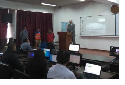
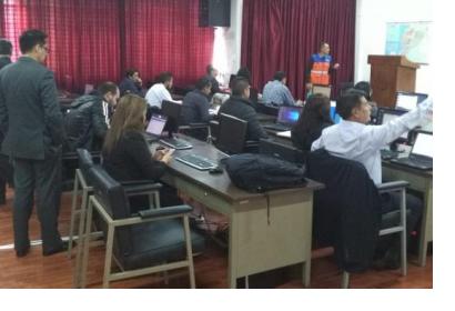
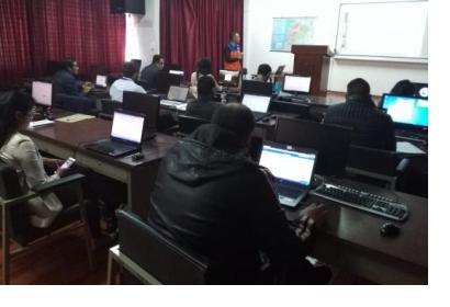
During the five-day mission, UN-SPIDER runs a training programme on the "Analysis of satellite images to monitor floods, droughts and forest fires". The training course is conducted on the premises of the Military Geographic Institute. The Geographic Institute serves as the host to the Panamerican Centre for Geographic Studies and Research (CEPEIGE), which is providing its facilities for the training. The programme brings together 21 participants from various institutions that were convened by the National Risk and Emergency Management Service. The objective is to train participants in the fundamentals of Earth observation, methods of remote sensing and digital processing of satellite images to obtain useful information for monitoring floods, droughts and forest fires.
The mission is a follow-up activity to the UN-SPIDER Technical Advisory Mission (TAM) conducted in October 2009 at the request of the Ministry of Foreign Affairs, Commerce and Integration (MRECI).
Ecuador is exposed to a variety of geologic and hydro-meteorological hazards, including many active volcanoes. In addition, it is exposed to climatic events such as El Niño and La Niña.


