As part of the technical advisory support it provides to countries worldwide on accessing space-based information for disaster management and emergency response, UN-SPIDER carried out an Institutional Strengthening Mission to Lao People’s Democratic Republic from 18 to 22 March 2019 upon the request of the Ministry of Science and Technology. This activity was jointly organized by the United Nations platform for Space-based Information for Disaster Management and Emergency Response (UN-SPIDER) of the United Nations Office for Outer Space Affairs (UNOOSA) and the Ministry of Science and Technology (MOST). Experts from two UN-SPIDER Regional Support Officer – the International Water Management Institute (IWMI) and the Asian Disaster Preparedness Centre (ADPC) – contributed to the mission.
The mission was a follow-up activity to the UN-SPIDER Technical Advisory Mission (TAM) conducted in July 2015 that assessed use of space-derived information in all aspects of disaster management and offered recommendations to strengthen the disaster risk management and emergency response in Lao People’s Democratic Republic. UN-SPIDER had organized one a previous follow-up activity and ran capacity-building programmes on “Space-based Technologies Exploring the Use of Earth Observation Data and Modeling Tools in Flood Risk Mapping and Flood Early Warning” in July 2016.
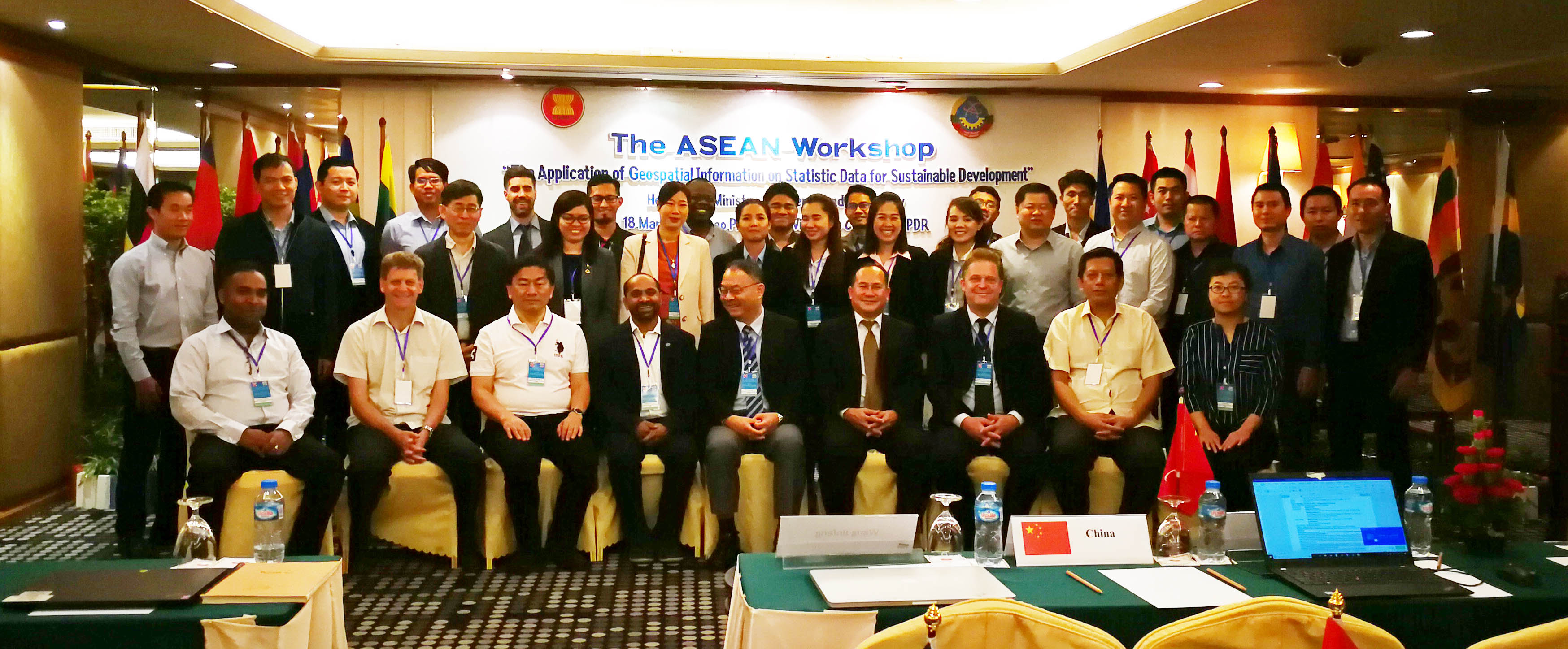
During the five-day mission, UN-SPIDER contributed to an ASEAN Workshop on “The Application of Geospatial Information on Statistic Data for Sustainable Development”. The workshop offered a forum to strengthen capabilities of ASEAN countries in using geospatial information to develop statistical data needed for SDGs indicators.
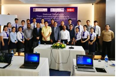
UN-SPIDER also conducted a three-day national training programme on “Earth Observation-based Mechanisms and Tools for Assessing Flood Risk and Rapid Response During Floods” with contributions of experts from IWMI and ADPC. The training included simulation exercises based on the activation of the International Charter “Space and Major Disasters” during a dam collapse in Lao PDR in July 2018. This exercise the skills of participants in analyzing and utilizing emergency response maps produced through the Charter mechanism. It strengthened the voluntary community LaoNGUM (Lao National Geospatial Information Utilization and Management), which had been established in 2016 with interventions from UN-SPIDER, and reinforced the need of close coordination among geospatial professionals and end users. In addition, theory and hands-on sessions were conducted in utilizing optical and microwave remote sensing data in assessing flood risk and preparation of rapid response maps during flood situation. Twenty-five participants from key ministries and the National University attended the training programme.
The team of experts also visited Mr. Sanya Praseuth, Member of Parliament and Vice President of the Economic, Technology and Environment Committee of National Assembly of Lao People’s Democratic Republic. The discussions assured the commitment of Lao People’s Democratic Republic to using Earth observation for sustainable development and disaster management.


