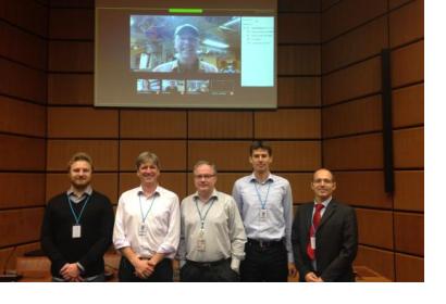
On 9 and 10 November 2015, UN-SPIDER hosted the autumn meeting of the International Working Group on Satellite-based Emergency Mapping (IWG-SEM). The meeting included representatives of the German Aerospace Center (DLR); the European Commission’s Joint Research Centre (JRC); the UN Cartographic Section; the Service Régional de Traitement d'Image et de Télédétection (SERTIT); the Information Technology for Humanitarian Assistance, Cooperation and Action (ITHACA); the Human Rights Watch (HRW) organization; the Humanitarian OpenStreetMap Team (HOT); the University of Bonn; the Pacific Disaster Center (PDC); the Bonn International Center for Conversion (BICC) and the United States Geological Survey (USGS).
In their biannual meeting, the group discussed several topics including map metadata standardization, GeoRSS services, clarifications and procedures related to the acceptance of private entities into the Working Group, and the editorial aspects of the specific chapter on Earthquake Mapping. Group members also discussed the implementation of voting procedures in the case of those issues that cannot be resolved by consensus, as well as the work plan for 2016, including participation in the FOSS4G conference in Bonn.
The IWG-SEM is a voluntary group of organizations involved in satellite-based emergency mapping. It was founded in April 2012 based on the suggestions from an initial meeting organized by DLR in Hohenkamer in September 2011. OOSA/UN-SPIDER is currently chairing the working group.

