In recent years several regions of Poland have experienced extremely large floods that have affected many communities and sectors of development. The floods in May and June 2010, characterized as the biggest floods in the last century, affected many cities and villages in southern Poland. As a way to respond to these floods in a more effective way, the National Headquarters of the State Fire Service activated the GMES-SAFER project. SAFER provided emergency responders with a variety of maps that were used to identify priorities based on the extent of floods.
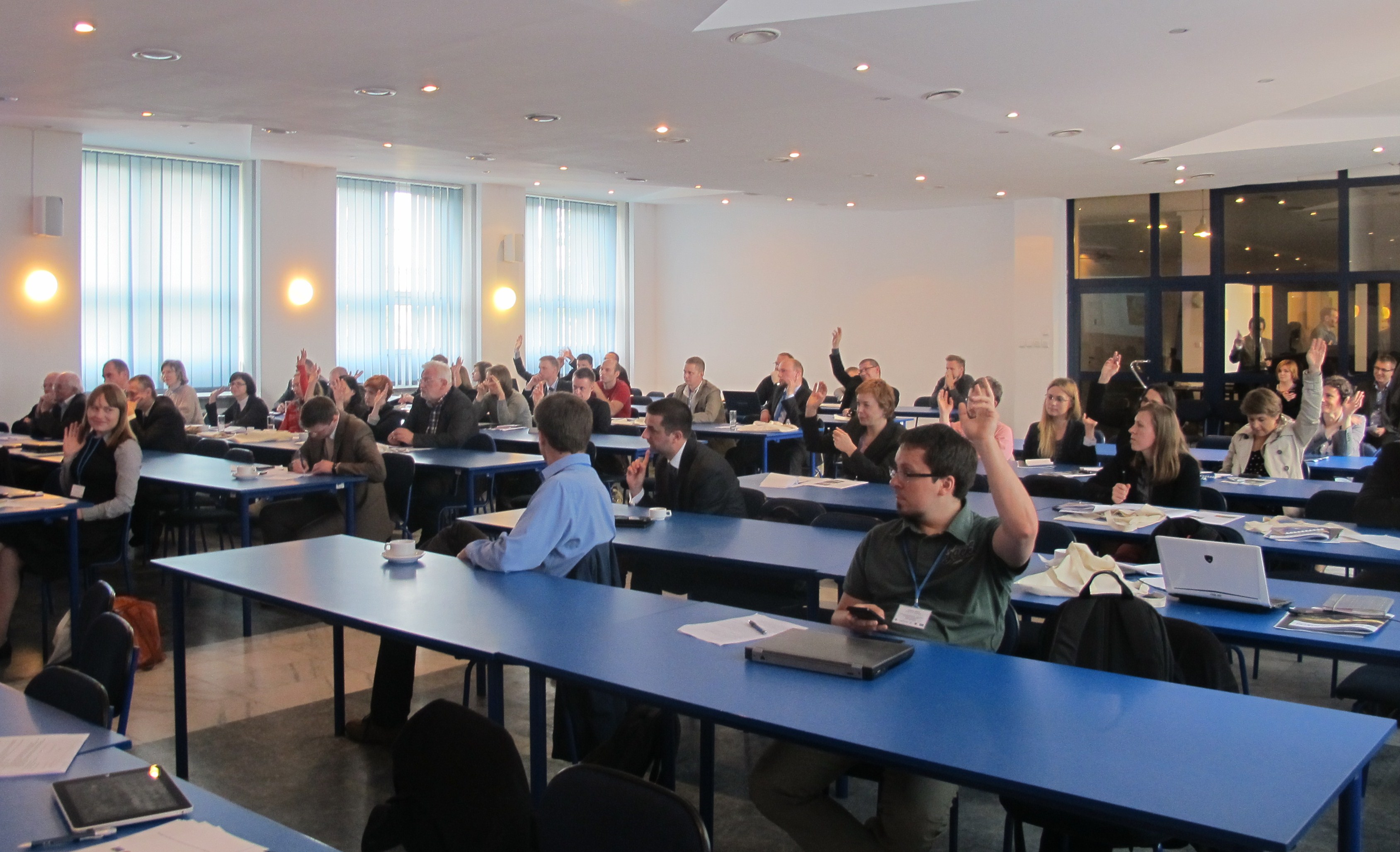
On 16 to 18 May 2012, the Space Research Centre of the Polish Academy of Sciences (CBK), the Main School of Fire Service (SGSP) and Secure World Foundation (SWF) organized the Workshop on Use of Space Applications in Humanitarian Operations. This workshop focused on a simulation of the response to a flood of a very large extent that demanded the support of the international community to deal with the needs triggered by the hypothetical event. The workshop was conducted within the framework of the GEO Network for Capacity Building (Geonetcab) project that aims at training the end users of EO data and engaging them into products development.
The simulation was designed by SIGMA Games, a private company in Poland that focuses on the creating scenarios of simulation games. The participants used a tailor-made software entitled Adaptive Layers for Information and Collaboration in Emergency system (ALICE), which has been produced by the Polish company Astri Polska. It contains a geo-viewer to display not only typical cartographic maps, but also information gathered from space applications (GNSS and satellite imagery), such as the location of particular infrastructure (hospitals, government buildings), collapsed bridges, fire brigades on site and temporary shelters; as well as layers depicting the geographical extent of floods. The simulation was structured in three phases:
- Phase 1. Typical coordination efforts within the affected country on behalf of its civil protection agency, local governments and emergency responders and the subsequent request for technical support and humanitarian assistance to be provided by the international community (NGOs);
- Phase 2. Coordination of a variety of activities on the ground, including the deployment of crews and pumping equipment to selected areas which were flooded, the deployment of responders to particular areas including shelters, and the mobilization of additional resources.
- Phase 3. Discussions regarding long-term recovery operations.
Participants included representatives from the Ministries of Interior, Economy and Foreign Affairs, the Government Centre for Security, environmental agencies, Civil Protection, Fire Brigade, the Space Research Centre, local and regional municipalities and private companies from Poland; representatives from NOAA in the United States and from a variety of regional European organizations such as the European Commission, the European Union Satellite Centre, and EURISY; as well as representatives from UN-SPIDER, the International Space University and UNOSAT.
The simulation displayed the strengths of geo-viewers when applied in the context of a multi-lingual environment, their capacity to combine information gathered from different types of space applications (GNSS, satellite telecommunications and Earth Observations) on a single screen, and their usefulness in allowing a variety of actors at different levels (local, regional, national and international) to become quickly aware regarding the geographical extent of events such as floods and their impacts on critical infrastructure, as well as activities on the ground carried out in response to the event. However, the simulation also manifested the need for users to be properly trained in their use prior to real events.