We're glad to share with you the December 2018 UN-SPIDER Monthly Updates.
Our latest Data Application of the Month discusses how differential Synthetic Aperture Radar (SAR) Interferometry (InSAR), referred to as DInSAR, is used to map land deformation, for instance in the case of earthquakes.
Below the updates, you'll also find an events calendar with upcoming conferences, workshops and seminars organized by the community. If you're interested in training opportunities, make sure to visit our external training opportunities overview page, where you'll find links to third-party onsite as well as online courses.
Enjoy the read!
UN-SPIDER at a glance
- 24/12/2018Regional Support Offices involved: Indonesia Regional Support Office
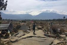
Following a tsunami that hit coastal areas around the Sunda strait between the Indonesian islands of Sumatra and Java on 22 December, the United Nations Office for Outer Space Affairs (UNOOSA) has requested the activation of the International Charter Space and Major Disasters on… Read more
- 18/12/2018
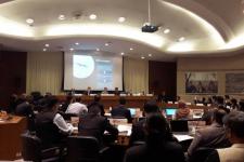
The United Nations Office for Outer Space Affairs (UNOOSA) participated in two regional meetings organized by the United Nations Office for Disaster Risk Reduction (UNISDR) at the United Nations Conference Centre in Bangkok, Thailand. The meetings discussed the implementation of the Sendai Framework for Disaster Risk Reduction 2015-2030. The ISDR-Asia Partnership (IAP) Forum was convened on 11… Read more
- 17/12/2018Regional Support Offices involved: International Water Management Institute (IWMI)
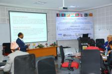
The United Office for Outer Space Affairs (UNOOSA), through its UN-SPIDER progroamme, and the Disaster Management Centre of the South Asia Association for Regional Cooperation (SAARC DMC) conducted a joint regional workshop and training on the “Utilization of Space-based and Geospatial Information for Achieving the Targets of the Sendai Framework for Disaster Risk Reduction” from 4 to 8… Read more
- 04/12/2018
The United Nations Office for Outer Space Affairs and the Prince Sultan Bin Abdulaziz International Prize for Water (PSIPW) launched the space4water portal during the eighth edition of the PSIPW award ceremony hosted at the United Nations Headquarters in New York. The new portal will serve as a platform to gather… Read more
News from the community
- 17/12/2018
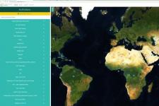
A new tool developed by the Food and Agriculture Organization (FAO) of the United Nations (UN) and the National Aeronautics and Space Administration (NASA) aims to allow users to “systematically inspect” any location on Earth – from glaciers to rainforests - with satellite data. Collect Earth Online (CEO), announced on 12 December 2018, is… Read more
- 14/12/2018
The European Commission (EC), the European Space Agency (ESA) and the Network of European Regions Using Space Technologies (NEREUS) have launched a new report consisting of 99 stories from European public authorities that showcases how they benefit from Copernicus, the European Union’s Earth observation programme.
The report intends to serve as a practical handbook… Read more
- 03/12/2018
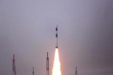
The Indian Space Research Organisation (ISRO) launched the first Indian Hyperspectral Imaging Satellite (HySIS) from Sriharikota on 29 November. The satellite is expected to be used for Earth observation in applications related to agriculture, forestry, geology, assessment of coastal zones, and environmental studies. It was one out of 30 commercial satellites from eight different countries… Read more
| Title | Organized by | City | Country | Date |
|---|---|---|---|---|
| UN/Costa Rica/PSIPW Sixth conference on the use of space technology for water management | United Nations Office for Outer Space Affairs (UNOOSA) Government of Costa Rica Prince Sultan Bin Abdulaziz International Prize for Water (PSIPW) |
San José | Costa Rica | 05/07/2024 to 05/10/2024 |
| 3rd International Conference Natural Hazards and Risks in a Changing World | Amsterdam | Netherlands | 06/12/2024 to 06/13/2024 | |
| 43rd EARSeL Symposium | European Association of Remote Sensing Laboratories (EARSeL) |
Manchester | United Kingdom of Great Britain and Northern Ireland | 06/17/2024 to 06/20/2024 |
| 67th Session of the Committee on the Peaceful Uses of Outer Space (COPUOS) | Vienna | Austria | 06/19/2024 to 06/28/2024 | |
| Global Flood Partnership Annual Conference 2024 | Nairobi | Kenya | 07/24/2024 to 07/26/2024 | |
| EUMETSAT Meteorological Satellite Conference 2024 | European Organisation for the Exploitation of Meteorological Satellites (EUMETSAT), Deutscher Wetterdienst (DWD) |
Würzburg | Germany | 09/30/2024 to 10/04/2024 |
| 2nd UNESCO IOC Global Tsunami Symposium | United Nations Educational, Scientific and Cultural Organization (UNESCO); Meteorological, Climatological and Geophysical Agency (Indonesian: Badan Meteorologi, Klimatologi, dan Geofisika, abbreviated BMKG) |
Banda Aceh | Indonesia | 11/09/2024 to 11/14/2024 |
