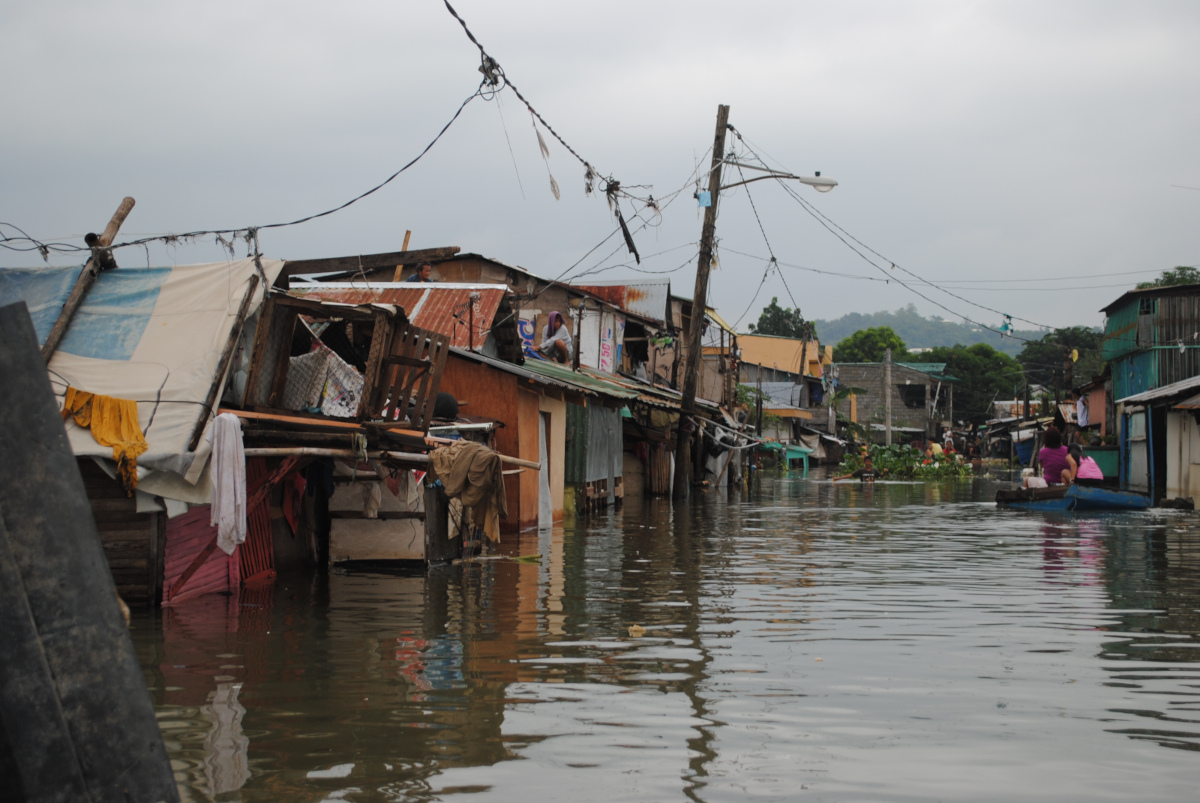
The Flood GUIDE project is a pilot effort implemented by different organizations such as UN-SPIDER, GloFAS of the Copernicus progamme, AIRBUS and ZFL, in partnership with national space and disaster management and hydrological agencies from Ghana, Guatemala, Nigeria, Peru, and South Africa. The project aims to improve flood early warning systems by incorporating the use of "impact-based" forecasts as part of such early warning systems.
This will be achieved by combining information from GloFAS, hydraulic modelling, historic data on flood impacts, and data on the location and vulnerability of exposed elements. The project will deduct data on impacts from historic floods to determine the potential impacts on communities in different sectors of development and critical infrastructure. The impacts will be shaped as part of "impact-based forecasts."
The pilot project incorporates the routine use of the Global Flood Awareness System (GloFAS), hydraulic modelling using digital elevation models, and other tools to generate maps indicating the potential geographical extent of floods. In a complementary fashion, data on impacts of historic floods of various levels and information on currently exposed elements will be compiled and systematized to be integrated with the potential geographical extent of floods.
The pilot project will be carried out through in-kind contributions from partners and is expected to serve as a demonstrator of novel advances to support disaster preparedness efforts in developing countries.