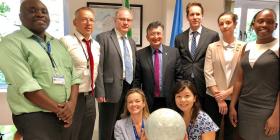
- Ms. Rose Waswa, Regional Centre for Mapping of Resources for Development, RCMRD, Kenya
- Dr. Franz-Josef Behr, Stuttgart University of Applied Sciences, Germany
- Ms. Alice Bourdet, Independent consultant, France
- Dr. Essifi Bouajila, Institut des Regions Arides, Tunisia (on standby only)
- Lorant Czaran, UN-SPIDER (Head of Mission)
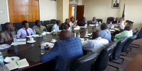
Five-day mission with a stakeholder workshop that brought together 65 to 70 participants from government agencies, universities, NGOs, UN agencies, other international organizations, and the private sector.
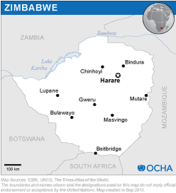
The mission team concluded that Zimbabwe has in place relatively good local capacity to work with geospatial and satellite data in several of the institutions visited; the capacity is especially strong at the universities visited. Universities could also support capacity-building efforts by expanding training in such skills to government staff. The mission team concluded that appropriate policy and legislative frameworks for disaster management and risk reduction – especially with respect to geospatial data production and sharing and the use of space-based information – could be quickly put in place through strong support from the ministers the TAM team interacted with during the visit to the country. In this context, the establishment and gradual implementation of a National Spatial Data Infrastructure (NSDI), similar to that of neighbouring countries, should also be encouraged and supported by the private sector as well as by United Nations organizations that are present in the country and implement relevant programmes or projects.
The key aspects of the recommendations that emerged are related to:
The need for a clear definition and implementation of a National Spatial Data Infrastructure (NSDI) with an identified leading agency, to allow mainstreaming the use of geospatial and space-based data in disaster management and in other national priority sectors (such as the sustainable development agenda and SDG-related monitoring).
More coordinated and collaborative approaches between the relevant national institutions when it comes to data and resource sharing, and commercial data licensing.
The use of national capacities in universities (such as the University of Zimbabwe or Bindura University) or in specific institutions to help train and build capacity in the use of remote sensing and GIS technologies for all governmental institutions with disaster management responsibilities.
The adoption and regular use by institutions of climate, flood, drought and other hazard and risk modelling or mapping methodologies based on existing applications and free online services.
Better information management and efficient leveraging of all donor-funded projects (including those from the private sector in the country and from other international organizations or donors) for generating and retaining geospatial and Earth observation data for the benefit of the national disaster management sector as a whole.


