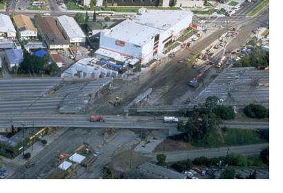
Global Navigation Satellite Systems (GNSS) are giving scientists in North America new insights into detecting potential earthquakes before they strike.
Accurate early warning of earthquakes is challenging because of earthquakes’ unpredictable nature. They often strike on otherwise normal days and frequently strike with fatal force. In spite of recent advances in seismology, the prediction of earthquakes remains difficult.
However Global Positioning System (GPS) satellites and the data they provide are now changing this, allowing scientists to track and calculate the gradual buildup of strain on fault lines. This helps them to identify the places where earthquakes are most likely to occur.
Since 2011, scientists at both the Pacific Northwest Geodetic Array (PANGA) and Natural Resources Canada have been installing a network of GPS sensors to existing seismometer stations across North America. These sensors use GPS satellites to track ground shifts as small as 1 mm in real time.
Data from these GPS sensors track the relative movements of tectonic plates, meaning scientists can see small motions and contortions of land around a fault line in greater detail than ever before. By watching these activities, they can calculate the locations of high strain build up.
Whilst the actual occurrence of an earthquake still remains unpredictable, the GPS network can locate possible earthquake areas, as well as to monitor seismic waves and provide a few seconds to a few minutes warning before the earthquake reaches people. Any warning, however short, provides the opportunity for people to move away from windows or to take cover before the earthquake hits. The early earthquake warning system could also be integrated into wider disaster-response mechanisms, including being used to trigger automated mechanisms to open fire hall doors or stop passenger trains.
Earthquake early warning systems are currently only operating in only a few regions including Japan and North America. Even though the cost of installing and monitoring GPS stations has fallen significantly in recent times, they still remain too expensive to introduce in many parts of the world that are likewise susceptible to earthquakes.
Yet where an extensive network of GPS sensors has been established, GPS satellites provide an important technique of monitoring tectonic movement, providing scientists with critical information for earthquake early warning systems.

