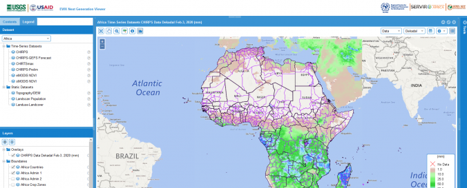
| Space-based Information: | The RCMRD Early Warning eXplorer (EWX) is a web-based application for exploration of geospatial data related to drought monitoring and famine early warning, customized for application in the African countries. It includes datasets such as rainfall at 5km, maximum temperature, rainfall forecasts and NDVI. The EWX enables scientists, analysts, and policymakers to view diverse data sets side-by-side in the same spatial bounding box, while also stepping through sequences of multiple time-series data sets. The EWX also allows users to view different statistics for user-selected regions by administrative zone, crop zone, hydrologic zones, grazing areas, or country.The RCMRD Early Warning eXplorer (EWX) is a web-based application for exploration of geospatial data related to drought monitoring and famine early warning, customized for application in the African countries. It includes datasets such as rainfall at 5km, maximum temperature, rainfall forecasts and NDVI. The EWX enables scientists, analysts, and policymakers to view diverse data sets side-by-side in the same spatial bounding box, while also stepping through sequences of multiple time-series data sets. The EWX also allows users to view different statistics for user-selected regions by administrative zone, crop zone, hydrologic zones, grazing areas, or country. |


