By martin.hilljegerdes |

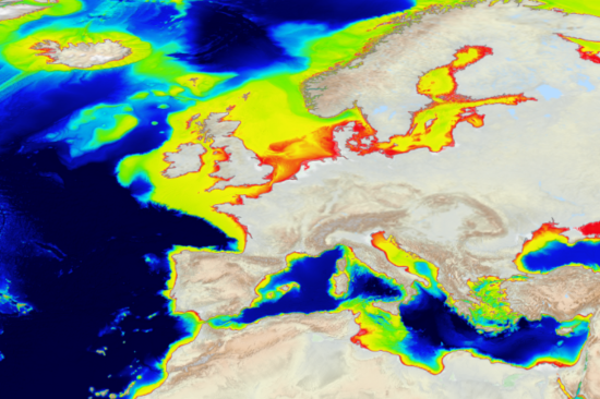
One of the key parameters of coastal zones is bathymetry. Bathymetry measures water depth in oceans, rivers or lakes and is used to define submarine topography. Bathymetry is used for tsunami, storm surge and coastal flood modelling, and it is an essential parameter in generating early warnings.
Image from: https://emodnet.ec.europa.eu/en/bathymetry
https://emodnet.ec.europa.eu/sites/emodnet.ec.europa.eu/files/public/EMODnet%20Bathy%202023_1.png
European Marine Observation and Data Network (EMODnet)
This site is managed by the Directorate-General for Maritime Affairs and Fisheries (DG MARE)
