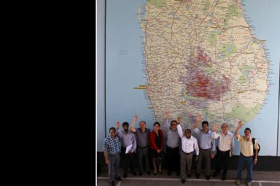
From 14 to 17 of August 2012, UN-SPIDER conducted the Capacity Building Programme “Space Technology for Improving Hazard Mapping in Sri Lanka”, as a follow-up to the Technical Advisory Mission (TAM) that took place in Sri Lanka in October 2011. The expert team had enlisted in their TAM report a number of recommendations to the Government to strengthen disaster management using space-based information. One of the most important recommendations was to improve the capacity of national agencies in understanding the advances in space technology and its applications in hazard mapping.
The 4-days capacity building training course was jointly organised by UN-SPIDER and the Disaster Management Centre (DMC) in Sri Lanka with support from the Uva-Wellassa University of Sri Lanka, the United Nations Development Programme (UNDP) in Sri Lanka and the National Disaster Reduction Centre of China (NDRCC). 10 Experts from various national and international organizations conducted technical sessions for 25 participants from Sri Lankan government agencies engaged with DMC.
Besides discussing the current state of use of space-based information for disaster management in Sri Lanka, the experts conveyed knowledge on the LiDAR Digital Evaluation Model, National Spatial Data Infrastructure for flood hazard mapping as well as knowledge on coastal hazard mapping, coastal zone management and integrated shoreline management plans. In addition, NDRCC donated HJ-1 satellite images of entire Sri Lanka and license-free image processing software which can be used by DMC and other organizations in Sri Lanka for hazard mapping as well as for natural resource mapping.
| Attachment | Tamaño |
|---|---|
| Sri Lanka Training Report.pdf | 696.03 KB |