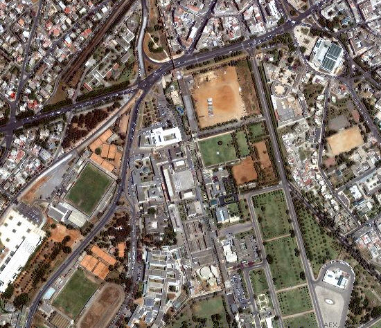
ArcGIS announced that an additional batch of the large set (up to 50 million square kilometers) of high-resolution imagery to be added to the World_Imagery map service is fully processed and published to ArcGIS Online. The World Imagery map was recently updated to include expanded coverage of 1m resolution GeoEye IKONOS imagery for parts of India and Africa. This represents the latest update as additional IKONOS imagery is fully p, rocessed and published.