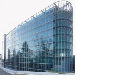
The International Working Group on the use of Satellite data for Emergency Mapping (IWG-SEM) met at the GEO Secretariat/WMO in Geneva to develop joint communication schemes and guidelines for an improved international cooperation in emergency mapping during large scale disaster situations.
During the two day meeting on 15-16 October 2012 the creation of a dedicated communication and information portal was discussed. Furthermore, first ideas for the definition of an emergency mapping ontology as well as of respective products and formats to enable the exchange of mapping and analysis products were developed.
The working group, currently chaired by the Joint Research Center (JRC) of the European Commission, was established in April 2012. The group consists of 20 representatives from EU-JRC, USGS, GEO, UNOOSA, SERVIR, DLR, CSA/Athena Global, SERTIT, ITHACA and Sentinel Asia. IWG-SEM aims to "establish best practices between operational satellite-based emergency mapping programs to stimulate communication and collaboration to include definition of map product generation guidelines, coordination of expertise and capacities, building of training curriculum, participation in common exercises, and reviewing relevant technical standards and protocols and to work with the appropriate organizations to define professional standards for emergency mapping".

