United
Nations
Office for Outer Space Affairs
UN-SPIDER Knowledge Portal
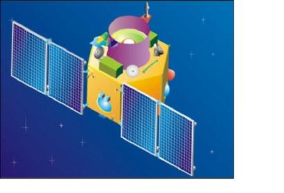
The Indian Space Research Organization (ISRO) is planning to build Cartosat-3, a satellite capable to take images of the earth with a resolution of 0.25 metres, as TheHindu reported. This remote sensing satellite is expected to exceed GeoEye-1, which is currently the satellite taking the highest resolution images of our planet. GeoEye-1 is capable of taking panchromatic images with a resolution of 0.41 meters. WorldView-2, another satellite operated by the same company, DigitalGlobe, offers a best resolution of 0.46 metres.
In the ‘Notes on Demands for Grants, 2013-2014’ from the Indian Department of Space, which forms part of the budget documents presented to Parliament recently, Cartosat-3 figures as a separate item with an allocation of Rs. 10 crores. “Cartosat-3 is an advanced remote sensing satellite with enhanced resolution of 0.25 metre for cartographic applications and high-resolution mapping,” the document said.
India had launched the Technology Experiment Satellite in 2001, followed some years later by the Cartosat-2 series of satellites that could take images with 0.8 metre resolution.
