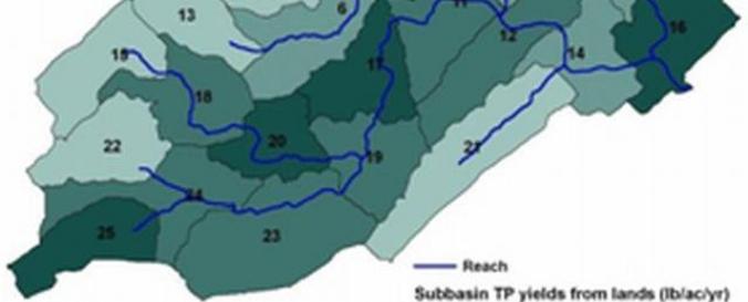
SWAT Soil and Water Assesment Tool

| Description: | SWAT is a software extension that can be used for modeling watersheds and rivers to assist in land management. SWAT can be downloaded for ArcGIS or QGIS and has a myriad of other data and tools for download. |
| Software type: | Extensión |
| Website: | https://swat.tamu.edu/ |
| Accessibility: | Solo instalación |
| Computer System: | Windows, Linux |
| Scope: | Modelización, Visualización |
| Costs: | Gratis |
| Tutorials: |

