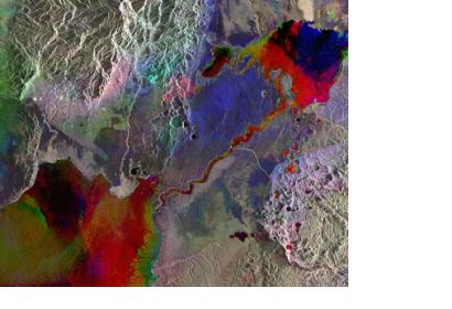
A new study by BBC Research LLC, has found that the global market for remote sensing technologies will continuously grow and should reach $12.1 billion by 2019, as Spar Point Group reported. The study includes forecasts for 20 end-user markets in 39 countries. The authors of the study point out that these advances in geographic information systems (GIS) technology have “blurred previous qualitative distinctions” between very expensive satellite platforms, moderately expensive airborne platforms, and low-cost UAS (unmanned aerial systems) platforms.
Spar Point Group further reports: "For instance, GIS software has accelerated the low-cost integration of historic, recent and real-time data, which has cut costs for manufacturing remote sensing products. For example, first-generation, black-and-white TV images of U.S. cloud cover from 1970s-era weather satellites “have proved unexpectedly useful” in recent climate change studies, BCC said." The remote sensing end-user markets forecast in the study also includes data on atmospheric research, climate change studies and disaster management.

