![]()
United
Nations
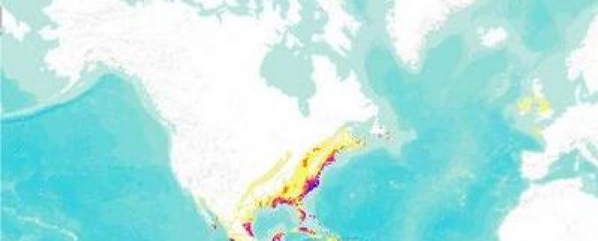
Global Cyclone Hazard Frequency and Distribution (CHRR)
| Data provided by: | Center for Hazards and Risk Research (CHRR) at Columbia University |
| Data accessibility: | Exportar datos, Exportar mapa, Visualización de datos (ej. web SIG o monitoreo en tiempo real) |
| Link to the data: | |
| Data type: | Datos sobre amenazas específicas |
| Hazard: | Severe Storm |
| Disaster cycle phase: | Gestión des Riesgo por Desastres |
| Space-based Information: | Weather Satellites |
| Spatial coverage: | Global |
| Spatial resolution: | 250.00 |
| Temporal coverage: | Archivado |
| Content dates: | 1980-2000 |
| Costs: | Gratis |
| Contact: | Contact |
| Tutorials on the use of data: | Import data to a GIS platform, Use data to create Databasin webmap |
| Restrictions/ Citation of the dataset: |
Provider
![]()