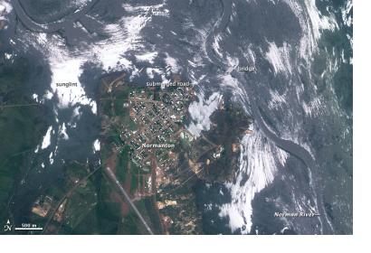
The International Society for Photogrammetry and Remote Sensing (ISPRS) calls for proposals for free FORMOSAT-2 satellite data. This research announcement provides an opportunity for researchers to carry out advanced researches and applications in their fields of interest using archived and/or newly acquired FORMOSAT-2 satellite images.
The FORMOSAT-2 satellite offers daily images at a nominal ground resolution of 2 meters for panchromatic images or 8 meters for multispectral. The images can be used in many areas of research – land-cover and environmental monitoring, agriculture and natural resources studies, oceanography and coastal zone researchers, disasters investigation and mitigation support.
Research projects in areas close to the Societal Beneficial Areas of GEO/GEOSS are particularly welcome. Up to ten proposals will be selected by a reviewing committee. Each selected proposal will be granted 10 archived images and/or data acquisition requests free of charge.
Proposals that include members of ISPRS Student Consortium will be given higher priority. For more details on the proposal visit the announcement website.

