United
Nations
Office for Outer Space Affairs
UN-SPIDER Knowledge Portal
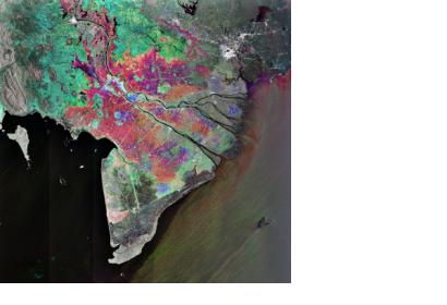
Vietnam’s Ho Chi Minh City National University is working in conjunction with southwestern provinces of Dong Thap, Soc Trang, Can Tho and Long An to integrate the region’s discrete spatial databases into a unified platform designated as the Mekong Delta Geographic Information System (MDGIS). Local governments in the region will benefit from the streamlined access to updated information on the status of the natural resources allowing for better leadership and management of socio-economic development in the region.
The Mekong Delta is considered a biological treasure not just by Vietnam but the international community as a whole and recognizes the need to monitor the impacts of climate change and natural disasters in order to sustain the delta's rich biodiversity.
