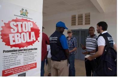
An outbreak of Ebola has struck several countries in south west Africa. The World Health Organization (WHO) declared an international health emergency for the deadly epidemic in August 2014. The International Charter: Space and Major Disasters was triggered twice in the past week to cover the Ebola epidemic in Western Africa in order to produce satellite-based maps of the region.
The mechanism was activated first on 9 October 2014 for Sierra Leone by USGS on behalf of the National Geospatial Agency. In Sierra Leone, the disease has claimed almost 900 lives so far, and people are still falling victim to the spreading disease.
On 10 October 2014, the International Charter was activated again for Guinea by UNITAR/UNOSAT on behalf of the World Health Organisation's Operations Centre. It has been estimated that almost 800 people have died in Guinea since the epidemic began.
The satellite-based maps and products will be published on the International Charter's website for downloading as soon as they become available.

