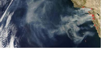
USD 1.14 million in funding was granted to the University of Arkansas in order to create a decision support system for assessing areas at risk for mudslides or rock falls caused by the effects of wildfires. The system will be based on remote-sensing technologies.
The system will assess the unheaven consequences following natural hazards and contribute to enhance public safety. Richard Coffman, assistant professor of civil engineering stated: “To combat these hazards, transportation officials typically rely on various maps that document burn severity, soil composition, geology and topography. But these tools do not offer the high spatial and temporal resolution of remote-sensing data”.
The innovative system will employ data gathered from earth observation satellites through radar and light-detecting technologies. The remote-sensing information will indicate the likelihood of mudslides or rock falls following a wildfire, based on imagery at a pixel-by-pixel scale. These will indicate specific geographic location and topography details, as well as burn severity, soil suction, soil-water content, rock type and clay content.

