A new study founded by NASA and published on November 11 in Proceedings of the National Academy of Sciences, shows a 13-year decline in vegetation in the eastern and southeastern Amazon. While the decline was small, the area affected encompassed 5.4 million square kilometres, equivalent to over half the area of continental United States.
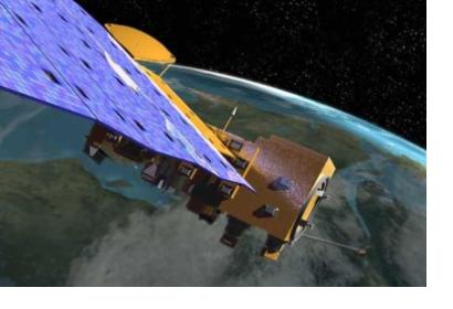
NASA satellites were fundamental in the study and were used to measure the "greenness" of the vegetation in the Amazon. Moreover, they were used in a new and innovative way.
Due to the natural challenges of measuring a region where cloudiness can reach over 95 percent during wet seasons, the experts developed a new method to detect and remove clouds and other sources of error in the data. They used the Moderate Resolution Imaging Spectroradiometer, or MODIS, instruments aboard NASA's Terra and Aqua satellites to look at a specific location, day after day, and create a stable pattern of images that could show what the surface of Amazonian region should look like, thereby detecting and removing the athmospheric noise caused by clouds and aerosols.
According to NASA's remote sensing specialist, Alexei Lyapustin, the new method made it possible for the experts to see more subtle changes in the surface of the Amazon, like the one caused by seasonal variation in sea surface temperatures in the eastern Pacific Ocean, also known as El Niño.

