![]()
United
Nations
Inondation
, processed by ESA, CC BY-SA 3.0 IGO.")
Definition
Facts and figures
Further information
UN-SPIDER Regional Support Offices with hazard-specific expertise
Related content on the Knowledge Portal

The United Nations Office for Outer Space Affairs (UNOOSA) requested the activation of the International Charter "Space and Major Disasters" on behalf of the National Disaster Management Centre of South Africa for floods and mudslides in Durban and the surrounding KwaZulu-Natal province of South Africa, which killed over 60 people and displaced more than 1,000. The German Aerospace Center (DLR) served as the project manager for this call.
Image: Flooding at Umlazi KwaNgubo, Durban, South Africa. Pleiades © CNES (2019) - Distribution: Airbus Defence and Space, all rights reserved.
Emergency mechanism URL International Charter "Space and Major Disasters" activation 605 Link  ,
,  ,
,  ,
,  ,
, 
Upon the request of the Ministry of Territorial Administration (MINAT), Government of Cameroon, UN-SPIDER carried out a week-long Institutional Strengthening Mission (ISM) to Yaoundé from 15 to 19 July. The mission aimed to strengthen the capacities of the Department of Civil Protection (DPC) of Cameroon in using space-based information in all phases of the disaster management cycle. It was the third UN-SPIDER mission to Cameroon after a Technical Advisory Mission (TAM) in 2011 and an Institutional Strengthening Mission (ISM) in 2012, the latter including a training course on “Remote Sensing for Disaster Management”.
During the mission, UN-SPIDER experts and an expert from its Nigeria Regional…
read moreRegional Support Offices mentioned:22/07/2019.")
A recent study, published in the Water Resource Research journal, presents a new method for a spatially realistic national flood risk assessment.
Researchers expanded an existing statistical model, based on U.S. Geological Survey (USGS) river flow data, to simulate a thousand years of potential flood events. By calculating the damage for each event in dollars, they were able to estimate the probability of the United States suffering particular annual flood damages.
Traditional risk flood analysis models assume that the impacts on the entire flood-affected area are the same, but flooding can be more severe in some areas than in others, even during the same flood event. At national scales, traditional risk analyses can only estimate the average annual loss. To estimate the total annual losses that might occur in more extreme flooding…
read more04/07/2019
In the past year, “there were 315 natural disaster events recorded with 11,804 deaths, over 68 million people affected, and US$131.7 billion in economic losses around the world.” This is according to the Centre for Research on the Epidemiology of Disasters (CRED) in its recently released 2018 Natural Disasters Report.
While these 2018 natural disaster values represent a decrease when compared with the annual averages from 2008 to 2017, some geographic areas still experienced great losses of life and damages due to natural hazards. Indonesia was most adversely impacted in terms of lives claimed, with earthquakes in August and September 2018 that left a total of 4,904 people dead or missing, according to the CRED. Earthquakes also accounted for the greatest number of deaths among natural disasters worldwide in 2018. And among all types of natural hazards, floods affected the greatest number of people during the…
read more01/07/2019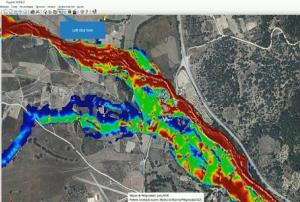
The training date is in the past. However, videos and resources of the training can be accessed here.
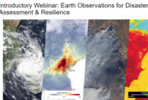
According to a UN report, between 1998 and 2017, the U.S. alone lost $944.8 billion USD from disasters. Between 1978 and 2017, losses from extreme weather events rose by 251 percent. It is critical to develop disaster management strategies to reduce and mitigate disaster risks. A major factor in regional risk assessment is evaluating the vulnerability of lives and property to disasters. Environmental information about disasters, their spatial impact, and their temporal evolution can play an important role as well.
This webinar series will focus on Earth observation (EO) data useful for disaster risk assessment. The series will cover disasters including tropical cyclones, flooding, wildfires, and heat stress…
read more Publishing institution:
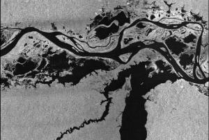 Publishing institution:
The Global Flood Partnership is a multi-disciplinary group of scientists, operational agencies and flood risk managers focused on developing efficient and effective global flood tools that can address these challenges. Its aim is to establish a partnership for global flood forecasting, monitoring and impact assessment to strengthen preparedness and response and to reduce global disaster losses.
The registration for the 2019 Global Flood Partnership Annual Meeting is open! This year's meeting will take place on 11 - 13 June 2019 in Guangzhou, China hosted by Sun Yat-sen University.
read moreAn updated draft agenda is available and can be found here.
Instructions for participants are available …
UN-SPIDER Regional Support Offices with hazard-specific expertise
![]()