Upon the request of the Ministry of Territorial Administration (MINAT), Government of Cameroon, UN-SPIDER carried out a week-long Institutional Strengthening Mission (ISM) to Yaoundé from 15 to 19 July. The mission aimed to strengthen the capacities of the Department of Civil Protection (DPC) of Cameroon in using space-based information in all phases of the disaster management cycle. It was the third UN-SPIDER mission to Cameroon after a Technical Advisory Mission (TAM) in 2011 and an Institutional Strengthening Mission (ISM) in 2012, the latter including a training course on “Remote Sensing for Disaster Management”.
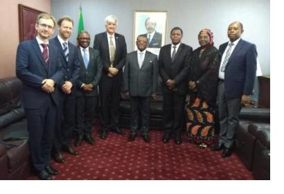
During the mission, UN-SPIDER experts and an expert from its Nigeria Regional Support Office (RSO) at the National Space and Research Development Agency (NASRDA) held meetings with the Prime Minister of Cameroon, the Minister of Territorial Administration, the Director of the Department of Civil Protection as well as with DPC staff. The discussions addressed ways to institutionalize the use of space data in disaster risk reduction, preparedness, response and recovery efforts, and to ensure data sharing and coordination among relevant stakeholders in the country, especially in emergency response efforts. The mission team also had the opportunity to visit a recently established emergency management facility.
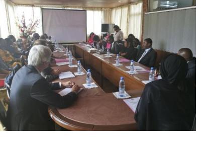
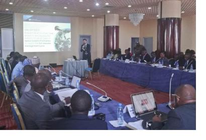
A two-day long workshop on “Emergency Operations Centres”, organized by DPC and UN-SPIDER as part of the mission, brought together a total of 52 participants from 36 institutions including ministries, government agencies, United Nations agencies, humanitarian organizations and the private sector.
During the workshop, DCP and other national organizations delivered presentations on the use of space-based information in case of disasters in Cameroon. UN-SPIDER provided general introductions on the use of remotely-sensed data in disaster management, which included an overview of data management practices, Geographic Information Systems (GIS) and their use for mapping disaster-relevant information, and the use of such maps in disaster response. Participants were also introduced to the International Charter “Space and Major Disasters” and presented examples of maps created for addressing floods in Nigeria in 2018. Finally, the mission team demonstrated the navigation through a number of websites and portals, including the UN-SPIDER Knowledge Portal, that contain relevant analysis-ready data as well as step-by-step procedures for creating information products based on raw data. Around 50 of these websites and portals, all of which would host information relevant for disaster management efforts in the country, had been curated into a dedicated booklet that was presented to and shared with participants.
At the heart of the workshop was a simulation of an Emergency Operations Centre (EOC) the use of a decision support system to coordinate the provision of humanitarian assistance, the restoration of lifelines and the coordination of efforts to deal with cascading impacts of a wide range of disasters across the country. During the simulation, participants were introduced to how floods maps created using Sentinel-1 radar imagery and space-based information products would support emergency response efforts by locating, for instance, affected communities and infrastructure.
Through the exercise, UN-SPIDER raised awareness among government agencies of the usefulness of space-based information and the relevance of strengthening local capacities to make use of the growing amount of data and information products made available by the space community and presented by UN-SPIDER. The exercise also allowed to demonstrate the use of emergency operation centres equipped with decision support systems, that is, digital platforms indicating available resources among organizations and needs resulting from the disaster. These centres would bring together official institutional liaisons that are in charge of conducting the inter-institutional coordination regarding the provision of humanitarian assistance, the restoration of lifelines and the management of other cascading events in case of disasters.


