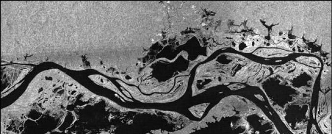
RADARSAT-1 (CSA)

| Data provided by: | Canadian Space Agency (CSA) |
| Data accessibility: | export data, export map |
| Link to the data: | |
| Data type: | satellite data or aerial image |
| Hazard: | Drought, Volcanic Eruption, Earthquake, Mass Movement, Tsunami, Landslide, Flood, Severe Storm, Pollution |
| Disaster cycle phase: | Disaster Risk Management, Response, Recovery |
| Satellites and Sensors: | RADARSAT-1 |
| Spatial coverage: | Global |
| Spatial resolution: | 10m - 30m |
| Temporal coverage: | Archive |
| Content dates: | 1995 - 2013 |
| Technical Specifications: | |
| Costs: | free |
| Contact: | Contact CSA |
| Tutorials on the use of data: | OpenEV, Examples on SAR capabilities for disaster management (CSA) |
| Restrictions/ Citation of the dataset: |

