![]()
United
Nations
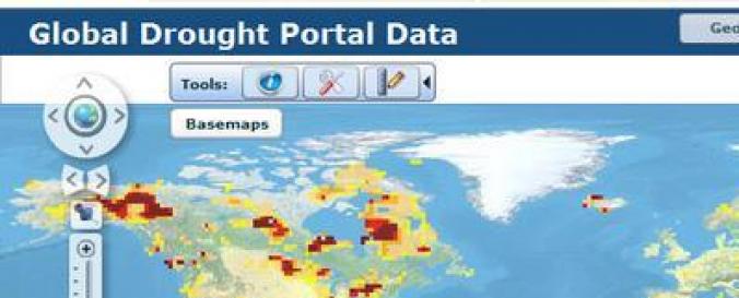
Global Drought Information System (NIDIS)
| Data provided by: | National Integrated Drought Information System (NIDIS) |
| Data accessibility: | export data, export map, visualization of data (e.g. web GIS or real time monitoring) |
| Link to the data: | |
| Data type: | hazard specific data |
| Hazard: | Drought |
| Disaster cycle phase: | Disaster Risk Management, Response, Recovery |
| Spatial coverage: | Global, Africa, Northern America, Europe, Oceania |
| Temporal coverage: | Archive, Near-real time |
| Costs: | free |
| Contact: | Contact |
Provider
![]()