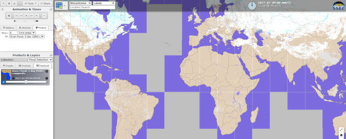
Global Flood Mapping (NOAA-SSEC)

| Data provided by: | National Oceanic and Atmospheric Administration (NOAA), Space Science and Engineering Center (SSEC), University of Wisconsin-Madison |
| Data accessibility: | export data, export map, visualization of data (e.g. web GIS or real time monitoring) |
| Link to the data: | |
| Data type: | hazard specific data |
| Hazard: | Flood |
| Disaster cycle phase: | Response, Recovery |
| Satellites and Sensors: | Suomi NPP, GOES-16, GOES-17, Himawari 8, Himawari 9, NOAA-20 |
| Spatial coverage: | Global |
| Temporal coverage: | Archive, Near-real time |
| Costs: | free |
| Tutorials on the use of data: | NOAA VIIRS / ABI Flood Product Quick Guide |
