![]()
United
Nations
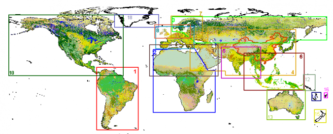
Land Cover Map (GLC2000 - JRC)
| Data provided by: | Joint Research Centre (JRC) |
| Data accessibility: | export data, export map |
| Link to the data: | |
| Data type: | land use, land cover data |
| Satellites and Sensors: | SPOT 4 |
| Spatial coverage: | Global |
| Spatial resolution: | 1000.00 |
| Temporal coverage: | Archive |
| Content dates: | 2000-present |
| Technical Specifications: | |
| Costs: | free |
| Restrictions/ Citation of the dataset: |
Provider
![]()