![]()
United
Nations
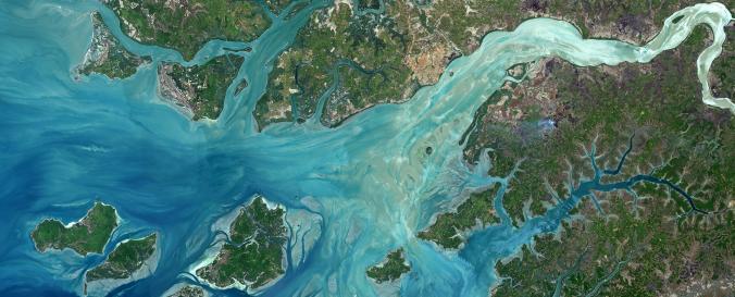
Sentinel 2 - Imagery (ESA)
| Data provided by: | European Space Agency (ESA), Centre National d'Etudes Spatiales (CNES) |
| Data accessibility: | export data |
| Link to the data: | |
| File type: | xml |
| Data type: | satellite data or aerial image |
| Hazard: | Drought, Earthquake, Extreme Temperature |
| Disaster cycle phase: | Disaster Risk Management, Response, Recovery |
| Satellites and Sensors: | Sentinel-2A |
| Spatial coverage: | Global |
| Spatial resolution: | 10m - 60m |
| Temporal coverage: | Archive, Near-real time |
| Content dates: | August 2015 - present |
| Technical Specifications: | |
| Costs: | free |
| Contact: | ESA |
| Restrictions/ Citation of the dataset: |
Provider
![]()