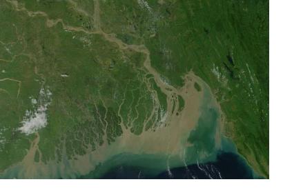
The International Charter: Space and Major Disasters has been triggered to provide satellite-based emergency maps in response to floods and landslides caused by heavy rains in the north and central regions of Bangladesh. The mechanism was activated yesterday, 7 September 2015, at 09:13 (UTC+02:00) by the Asia Disaster Reduction Center (ADRC) on behalf of Bangladesh Space Research and Remote Sensing Organization (SPARRSO). The Asian Institute of Technology (AIT) is responsible of the project management. The torrential rains affected more than twenty of the country's districts.
The International Charter reported that, however the flooding hasn’t caused injuries nor casualties, it led to a “widespread disruption affecting thousands of people and hundreds of villages in the region”. Roads are also inaccessible, because of the floods and many people have been left isolated. Relief and efforts are underway to support them.
“It has been reported that 14 major rivers were brought to dangerously high water levels”. Homes of the lower-lying areas of the capital city Dhaka are inundated and impacted by this event. Concerns are about the risk of an outbreak of disease in the lingering flood waters.

