United
Nations
Office for Outer Space Affairs
UN-SPIDER Knowledge Portal
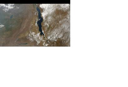
The International Charter: Space and Major Disasters was triggered to provide satellite-based emergency maps in response to a major storm in Lilongwe district, Malawi on 2 January 2015. The mechanism was activated by the US Geological Survey on behalf of Dept of Disaster Management Affairs, Malawi.
The International Charter reported: "The unexpectedly heavy rain and hail destroyed over 200 homes in Lilongwe, leaving dozens of people without homes. One person was also killed during the storm. Lilongwe district is located in the centre of Malawi, and the capital city (which bears the same name), as well as villages in the area suffered the most damage from the storm."
The satellite-based maps will be uploaded to the International Charter's website as soon as they become available.
