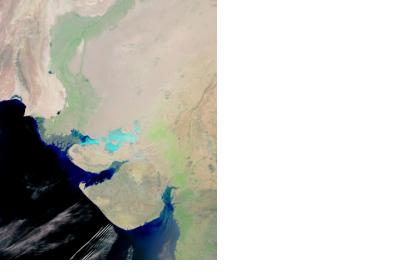
On 20 May 2014, Pakistan’s Agriculture Secretary, Ahmed Bakhsh Narejo, inaugurated the country's first satellite remote sensing laboratory specifically dedicated to monitoring crops in the province Sindh.
The remote sensing lab is a collaboration between Pakistan’s Space and Upper Atmosphere Research Commission (Suparco) - one of UN-SPIDER's Regional Support Offices - and the Food and Agriculture Organization (FAO). It will serve to gather, monitor and forecast crop data. The experts will monitor crop conditions, estimate yields and aid planners and policy makers with timely measurements in order to maintain crop quality.
Data gather by the lab will be distributed through the Crop Reporting Services Centre (CRSC) in a monthly web-based bulletin containing information on crop conditions and statistics of Sindh’s districts of Hyderabad, Matiari, Tando Allahyar, Tando Mohammad Khan, Badin, Sukkur, Khairpur, Ghotki, Thatta, Larkana, Sanghar, Mirpurkhas, Shikarpur, Dadu, Jacobabad, Naushahro Feroze and Nawabshah. The assistant district directors of the CRSC have been issued mobile phones with internet connectivity and software to assist in the collection and verification of data from the field to be transmitted to the laboratory.

