Wildfires remain a serious problem, presenting often-dramatic impacts that can only be minimized through a smart combination of technology, political decision and willingness to accept changes.
Since 1970s satellite remote sensing of fires has become increasingly important, developing various sensors that have been used successfully to detect active fires. In that context, MODIS (Moderate Resolution Imaging Spectroradiometer) is probably the most prominent sensor. Furthermore, nighttime imagery from DMSP-OLS and data from AVHRR (Advanced Very High Resolution Radiometer) have been applied for fire identification. As for prevention efforts, satellite-derived soil moisture information has been used in the context of fire research in an attempt to identify increased pre-event vulnerabilities.
In addition, the International Charter Space and Major Disasters aims to provide a system of space data acquisition and delivery to countries and regions affected by any natural or man-made disaster, granting access to Earth Observation data on fire hazard.
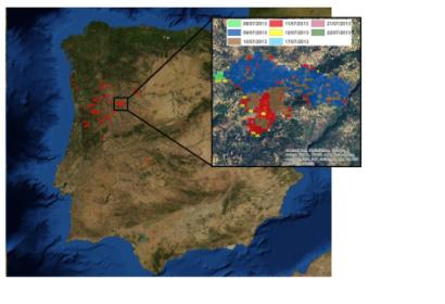
During the 2013 fire season in Portugal, remotely sensed data and satellite images were extensively used to monitor and assess the evolution of the fire, trying to anticipate the risk in some regions. Once the fires were extinguished, high-resolution satellite images were used to evaluate the impact and to develop an effective approach to avoid further damage to the environment.

