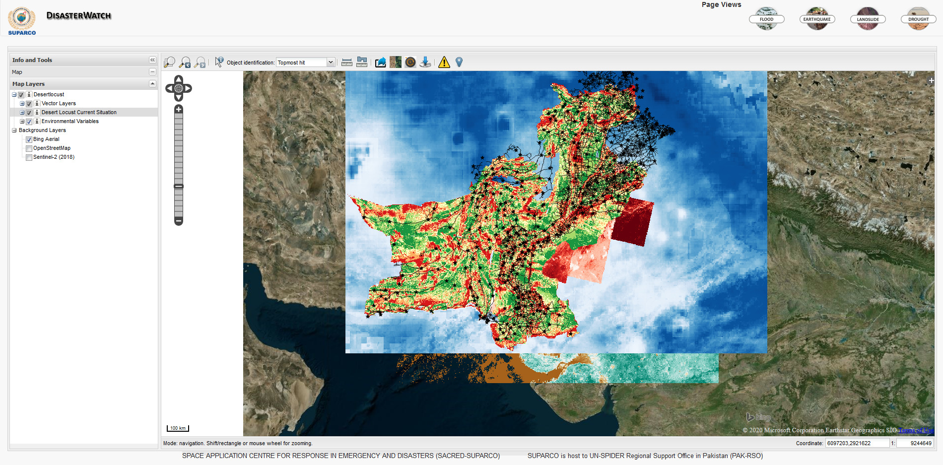
The Space Application Centre for Response in Emergency and Disasters (SACRED) of the Space & Upper Atmosphere Research Commission of Pakistan (SUPARCO), a UN-SPIDER Regional Support Office, is using space-based information to analyze areas with regards to their suitability as desert locust habitats based on vegetation, soil type and other factors. The results support surveillance and control operations by helping demarcate locust-prone areas.
The maps resulting from this analysis indicate the suitability of habitat on a scale consisting of five values: least, less, normal, moderate and most. The maps are published online for download, and a related layer is produced and made available through the DisasterWatch Desert Locust Situation Alert geoviewer.
Desert locust swarms across South-West Asia have become a major threat to food security and livelihoods by destroying crops in areas already struggling with the COVID-19 pandemic and its economis costs.
In Pakistan, the Government declared a "National Emergency on Locust" upon the advice of the Ministry of National Food Security and Research (MFSR) as a result of desert locust appearing in cultivated areas in the four provinces of the country, the scale of infestations and the unusually favorable conditions for breeding. The National Management Authority, provincial agricultural departments and the armed forces, wherever required, coordinate and support control operations.
