United
Nations
Office for Outer Space Affairs
UN-SPIDER Knowledge Portal
Esri offers a free interactive map for tracking Isaac, a Tropical Storm rolling over the Gulf of Mexico on the verge of becoming a hurricane. The map was built using the ArcGIS API for JavaScript and is powered by ArcGIS Server. It offers constantly updated hurricane information on the projected paths, storm surge, weather warnings, and precipitation along with social media links that shows location-based feeds and community-derived content from Youtube, Twitter and Flickr.
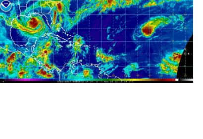
The U.S. National Oceanic and Atmospheric Administration (NOAA) also release a dedicated webpage to Tropical Storm Isaac, providing the most recent forecast, tidal and waterlevel predictions and satellite imagery on Isaac. NOAA additionally provides regular and up-to-date information on Isaac via Twitter and Facebook.
