Timely and reliable information about precipitation, soil moisture and vegetation health provide essential insights for early detection of drought. Space-based information, which helps monitor these parameters, is a central data source for effective drought early warning systems.
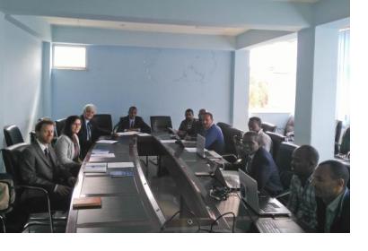
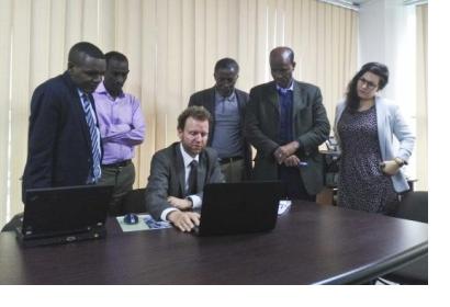
Upon the request of the Government of Ethiopia, UN-SPIDER is carrying out a Technical Advisory Mission (TAM) to Addis Ababa from 26 to 30 August to support the country in making use of the benefits of space technology for drought early warning. The team of experts from UN-SPIDER and the Centre for Remote Sensing of Land Surfaces (ZFL) at the University of Bonn, a UN-SPIDER Regional Support Office, is meeting a wide range of stakeholders in the country to identify how space-based information is currently used in the context of disaster management and drought monitoring in particular, and to make recommendations as to how to further strengthen the use of space technologies in these areas.
As part of the week-long mission, UN-SPIDER and the Ethiopian Space Science and Technology Institute (ESSTI) are convening a national workshop on “Drought Monitoring, Forecasting and Prediction in Ethiopia Using Satellite-driven and In-situ-based Measured Products”. The goal of the workshop is to discuss the establishment of a drought monitoring and prediction center in Ethiopia in order to develop integrated meteorological, hydrological and agricultural drought forecasting services. It also seeks to strengthen scientific networking in the research areas of drought and capitalize on Ethiopia’s effort to utilize space products for combating recurrent drought of the country. The workshop brings together nearly 40 participants from a wide range of national and international institutions addressing questions related to monitoring of natural hazards; space and geospatial information; risk and disaster management; and agriculture and food security.
Drought monitoring has been a focus area of the UN-SPIDER programme since its establishment in 2006. Through the “Strengthening Early Warning System for Drought” (SEWS-D) project, UN-SPIDER promotes the use of space-based information to address the effects of drought on soils and vegetation and strengthen national drought early warning systems in the Central American Dry Corridor. The project “Earth Observation Based Information Products for Drought Risk Reduction at the National Level” (EvIDENz) aimed at developing new methods and appropriate means of communicating Earth observation-based information developed, and tested new Earth observation-based methods to monitor drought hazard characteristics.
UN-SPIDER has also developed a range of step-by-step procedures – so-called Recommended Practices – on the use of space-based information for drought monitoring using the Vegetation Condition Index (VCI) and the Standard Vegetation Index (SVI). These procedures are available in QGIS, ENVI, Python and R. They are complemented by Data Applications of the Month on drought monitoring and land degradation monitoring, which explain at a more general level how space-based information can be used to address these hazards, while pointing to relevant data sets and other resources.


