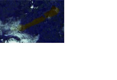
Satellite technology allows to assess the quality of water on Earth through the visualization of pollution levels otherwise invisible to the human eye, as a recent study shows.
An international team of researchers from the University of Leicester, the Hungarian Academy of Science and industrial partners, has used the Medium Resolution Imaging Spectrometer (MERIS) instrument hosted on the ENVISAT satellite to measure pollution levels in lakes. These methods were not available for lakes until now due to the complex optical environments defined by a mix of different natural substances in the water.
The research focuses on Lake Balaton in Hungary, a popular tourist area especially vulnerable to environmental and meteorological changes that could result in the build-up of algae. Professor Heiko Balzter, Director of the Leicester Centre for Landscape and Climate Research in the University of Leicester's Department of Geography and co-author of the study, highlighted the weight of the research: “Clean water is the basis of human life, and while we are used to turning the tap on and having unlimited access to clean drinking water here in the UK, this is not the case for everyone in the world."
During the research, which was supported by the European Commission, Marie Curie Programme and the GIONET project, over 1,000 satellite images were processed at the satellite data analysis centre of Airbus Defence and Space based in Farnborough.

